
IN this edition of nostalgia, we are looking back at the drowned village of Mardale, and surrounding areas prior to 1935.
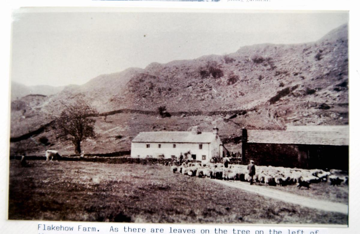
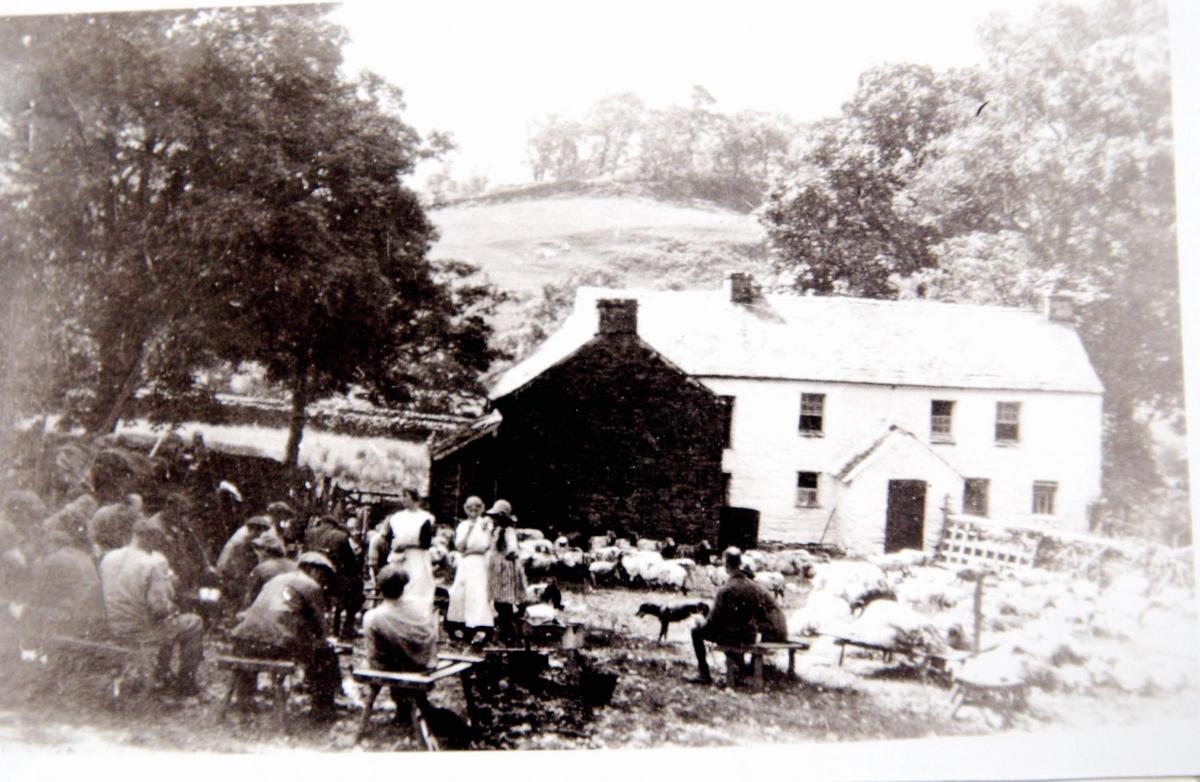
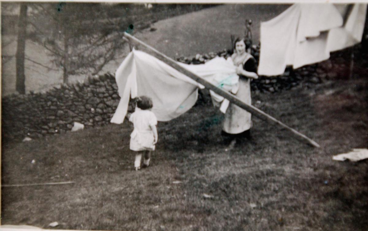
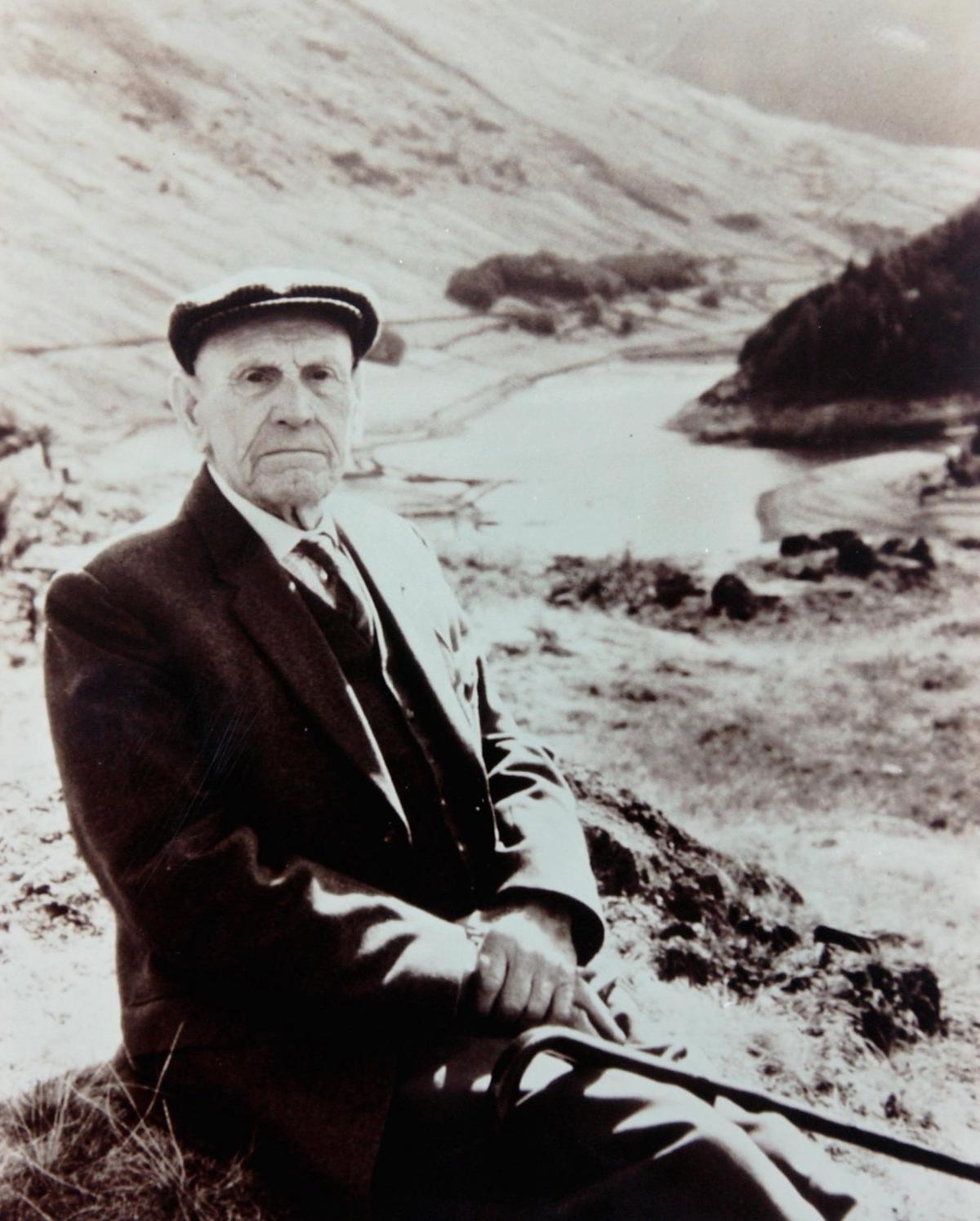
In this collection of photos, there are snaps which show life in Mardale prior to 1935, the area surrounding Mardale Green in the past, and images of the lost village as it reappears in warmer spells.
A Canterbury Conspiracy perpetrator named Hugh Holme rebelled against King John in 1208 and failed.
Facing royal retribution, Hugh attempted to flee to the safety of Scotland but never made the border, instead finding refuge in the valley of Riggindale.
Over time, Hugh settled and residents referred to him as the King of Mardale
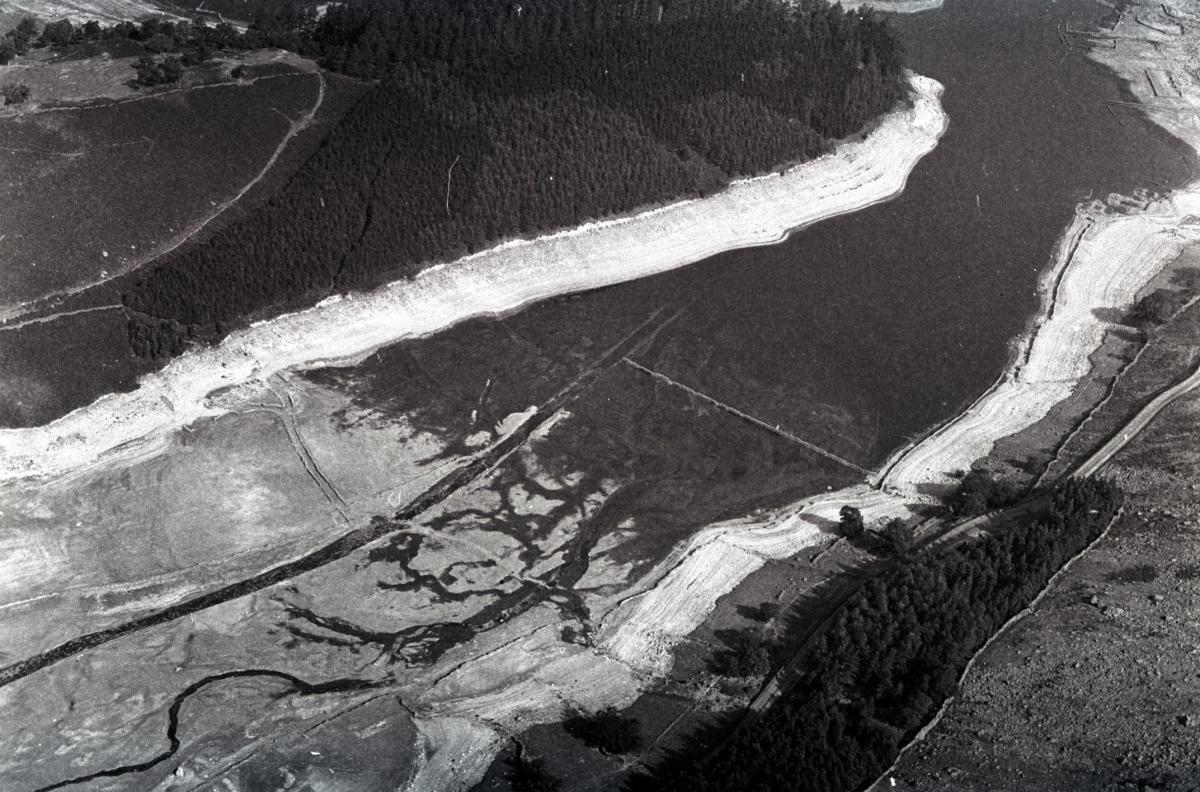
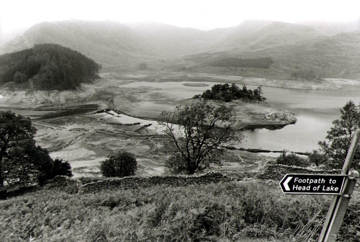
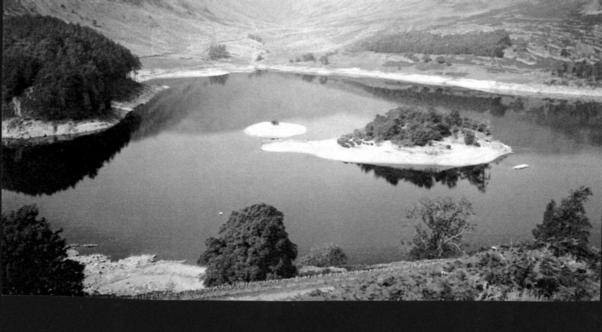
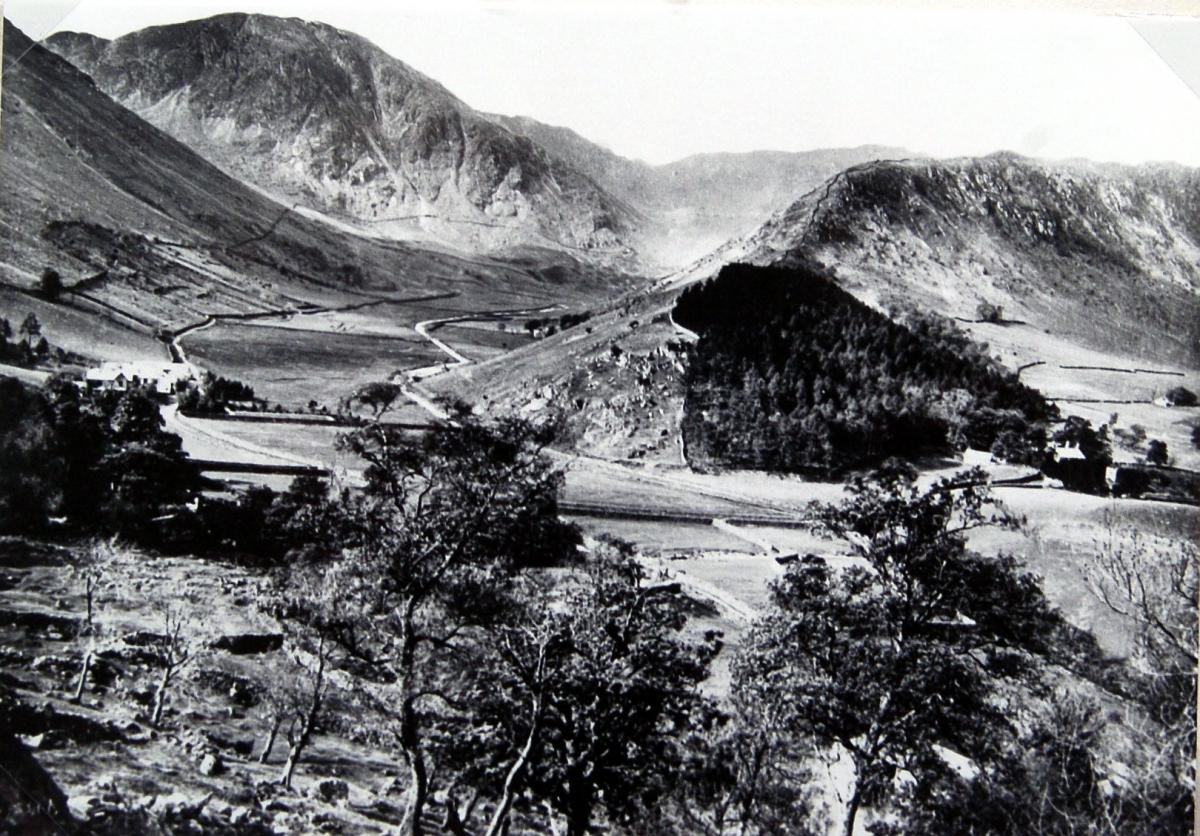
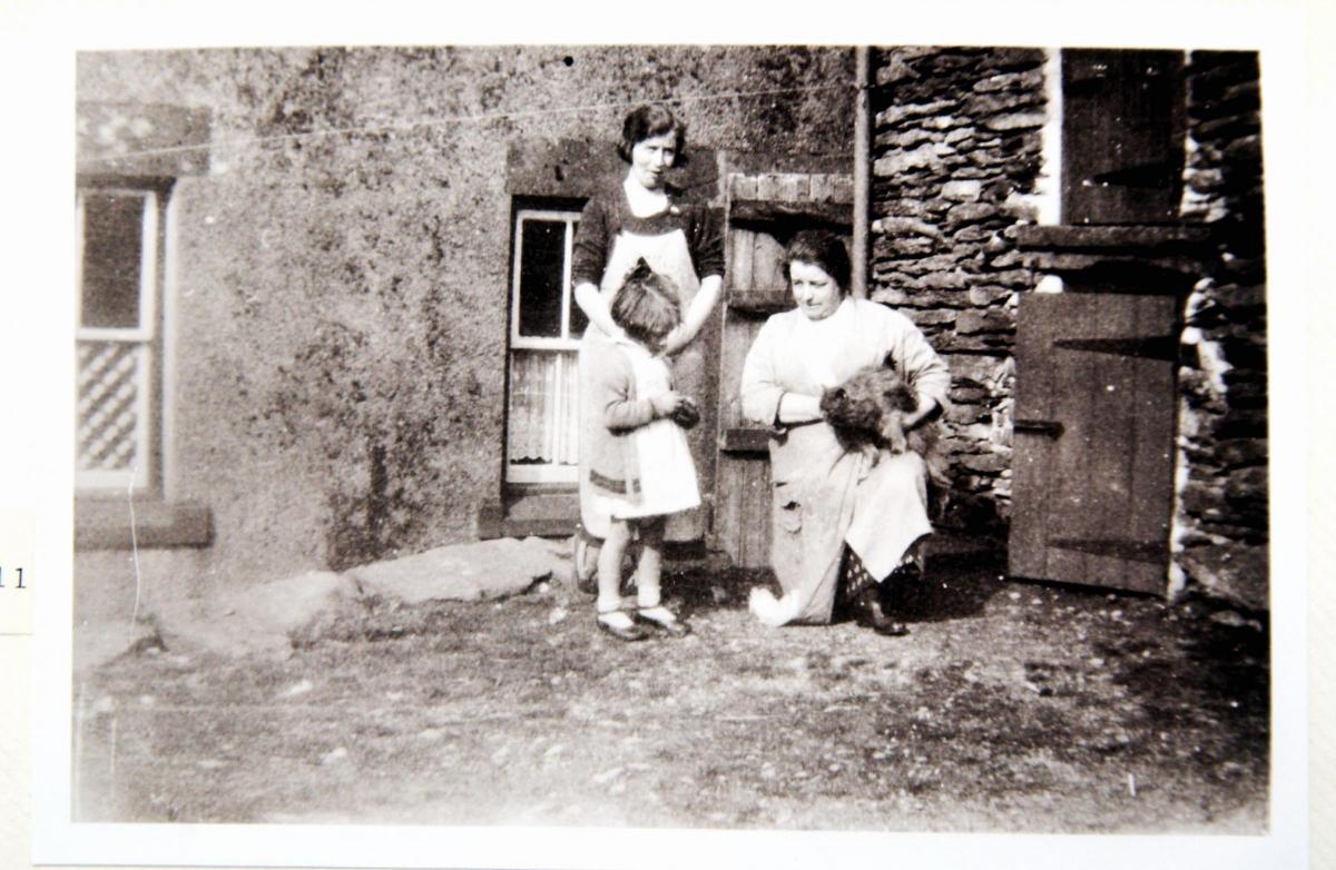
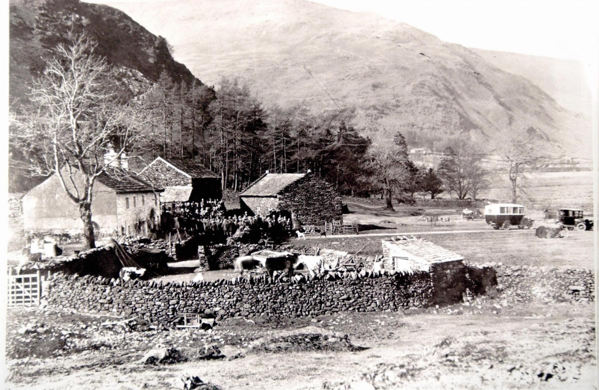
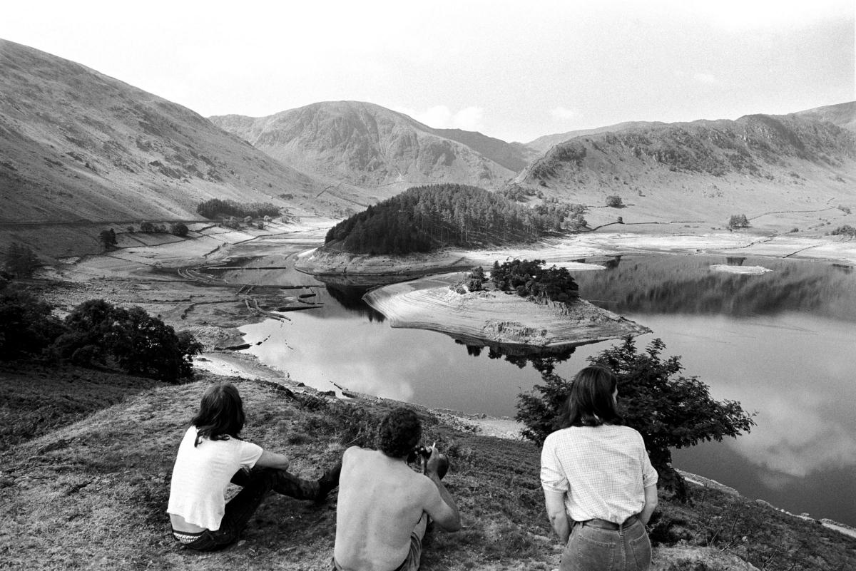
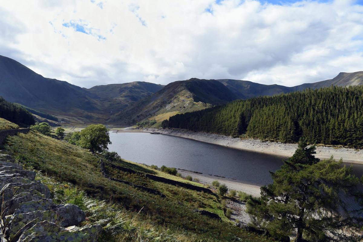
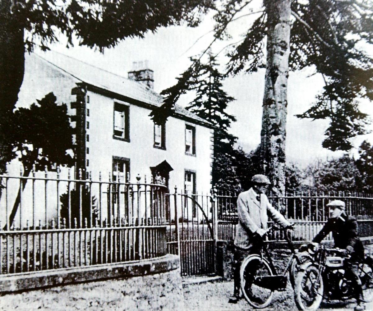
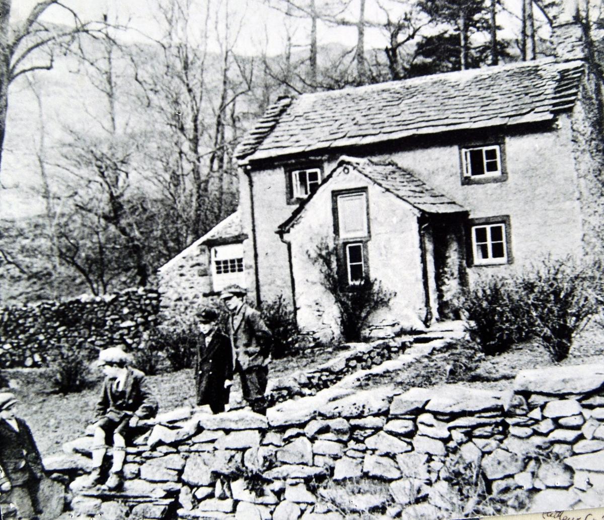
Mardale Green was a small village that existed in the valley of Mardale in the Lake District, before being flooded in 1935 to create the Haweswater Reservoir.
The village was inhabited for centuries before this and was mentioned in records dating back to 1200s.
It was a small farming community, characterised by a number of buildings, including an inn named The Dun Bull Inn, a chapel, and several farmsteads.
However, in the 1929, the government granted the Manchester Corporation permission to build a dam at the northern end of the valley, in turn, flooding Mardale. The area that a contemporary newspaper, according to geographical.co.uk, described as ‘one of the most secluded and peaceful places in the Lake District’ was transformed forever.
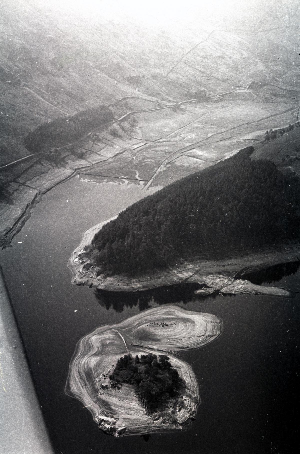
This led to the flooding of the valley and the complete submersion of the village to create a reservoir that would supply water for Manchester and the surrounding area.
The inhabitants of the village were forced to move out and every building, except the chapel, was dismantled or demolished before the area was flooded. Bodies in the churchyard were exhumed and reburied elsewhere.
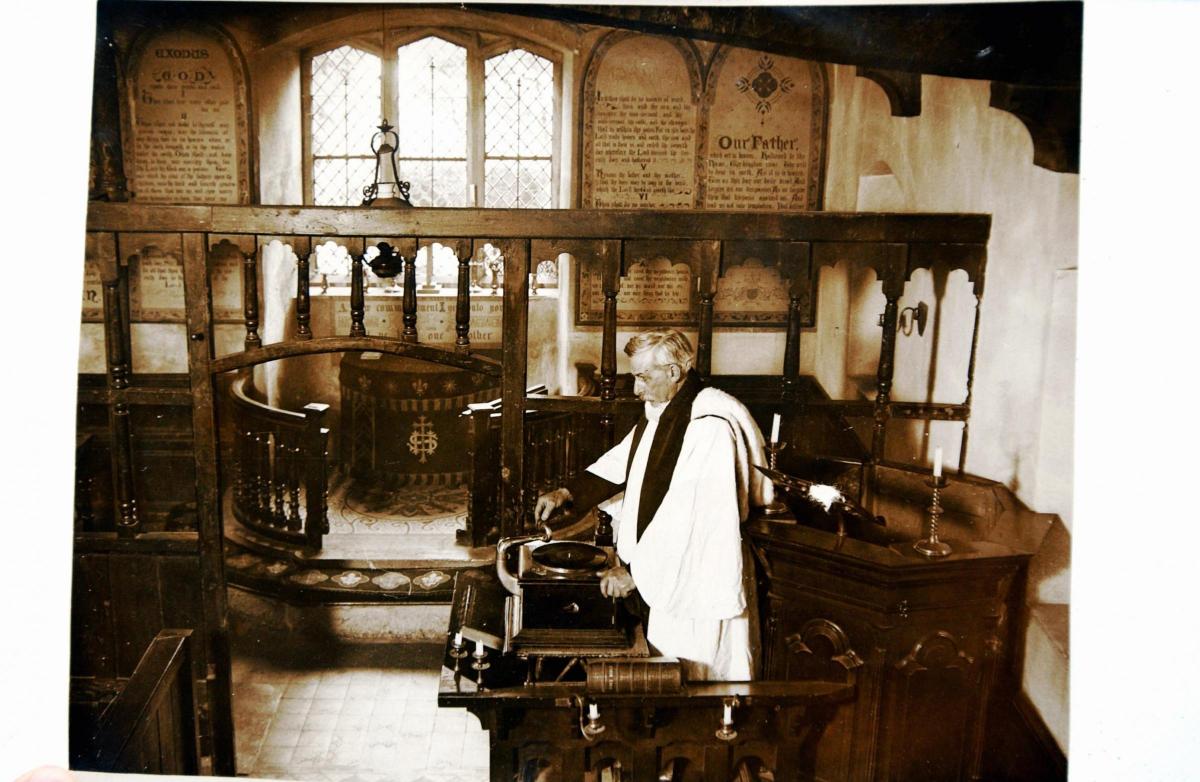
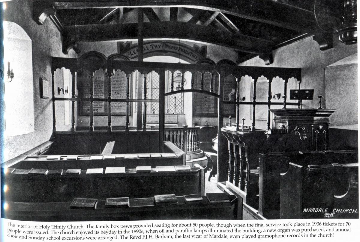
The village’s medieval church, Holy Trinity, usually held 75 people. However, hundreds gathered for the final service in August 1935, after which the former settlement was gradually submerged by the waters.
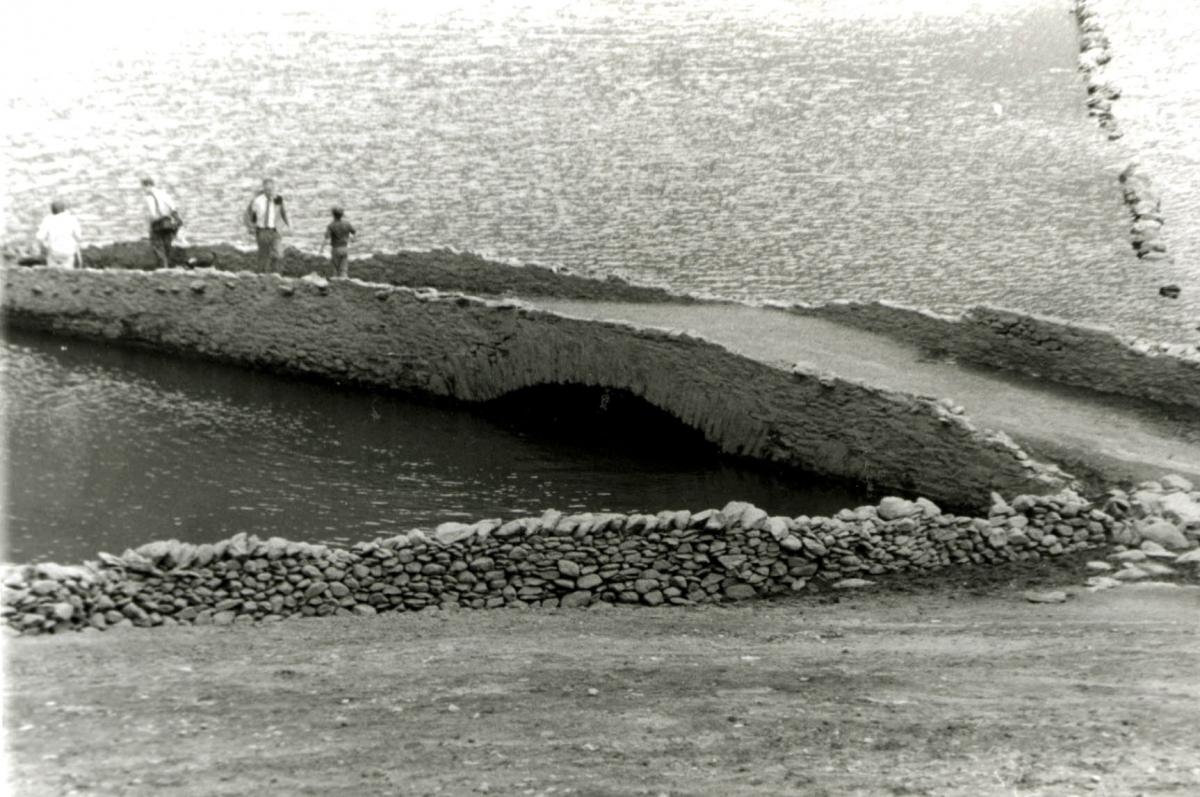
During periods of drought, when the water level in the reservoir is low, remnants of the old village, including stone walls and the village bridge, can still be visible.


Comments: Our rules
We want our comments to be a lively and valuable part of our community - a place where readers can debate and engage with the most important local issues. The ability to comment on our stories is a privilege, not a right, however, and that privilege may be withdrawn if it is abused or misused.
Please report any comments that break our rules.
Read the rules here