

A lot of Cumbria could be under water in less than 30 years, according to a climate change study.
Large parts of the county could be flooded, and the coastline completely changed if research by Climate Central is correct.
An interactive map has been released, which shows the areas of Cumbria, as well as the rest of the country which has rising sea levels and could be lost to these by 2050.
Climate Central’s sea level rise and coastal flood maps are based on peer-reviewed science in leading journals.
Climate Central admits the calculations that have led to fears of a nightmare scenario include "some error".
It says: "These maps incorporate big datasets, which always include some error. These maps should be regarded as screening tools to identify places that may require deeper investigation of risk."
The maps have been based on "global-scale datasets for elevation, tides and coastal flood likelihoods" and "imperfect data is used".
We've taken a closer look to see which areas of Cumbria could be at risk of rising sea levels.
The areas of Cumbria that could be under water by 2050. Picture: Climate Central
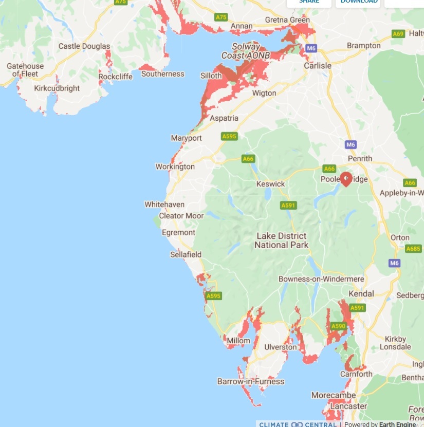
The map shows that a lot of the Solway Coast could be under water by 2050.
In particular, areas like Skinburness, Silloth, Kirkbride, Newton Arlosh, Abbeytown and Allonby are all shown in red on the map, indicating they could be under water in less than 30 years.
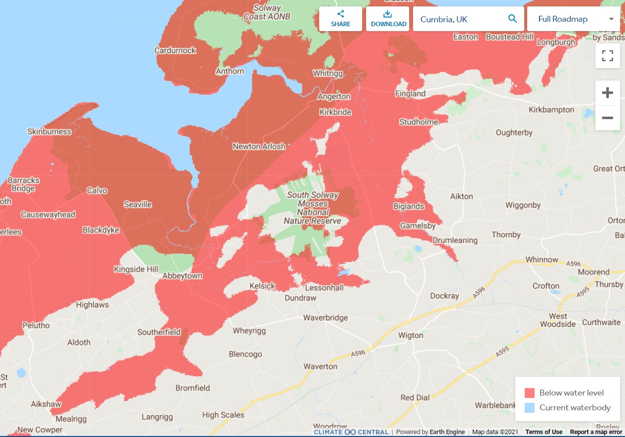
Map showing that the Solway Coast could be under water by 2050. Picture: Climate Central
In Carlisle, areas surrounding the city could be under water according to the data.
The areas shown on the map are Stainton, Grinsdale, Kirkandrews-upon-Eden and Rockcliffe.
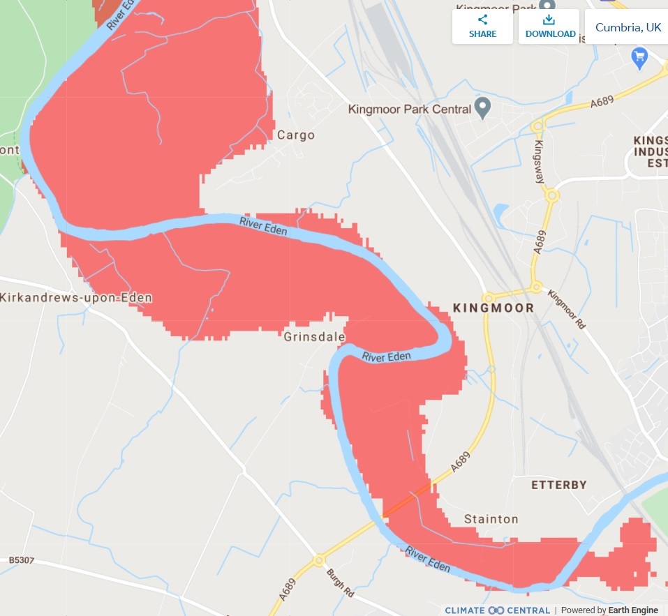
Areas surrounding Carlisle that could be under water by 2050. Picture: Climate Central
Across West Cumbria Maryport, Flimby and part Workington including Dunmail Park, Northside and Clay Flatts Industrial Estate are predicted to be under water by 2050.
As well as this Harrington, Whitehaven and Ravenglass are at risk too.
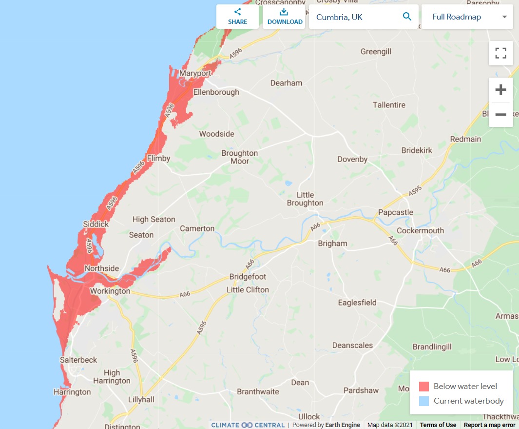
West Cumbria under water by 2050 predictions. Picture: Climate Central
In and around the Barrow area a number of different places could be under water by 2050.
For example, Haverigg, Millom, Duddon Mosses National Nature Reserve, Walney, Ulverston and parts of Barrow including the town centre are all in red in the map, indicating they could be under water in the next 30 years.
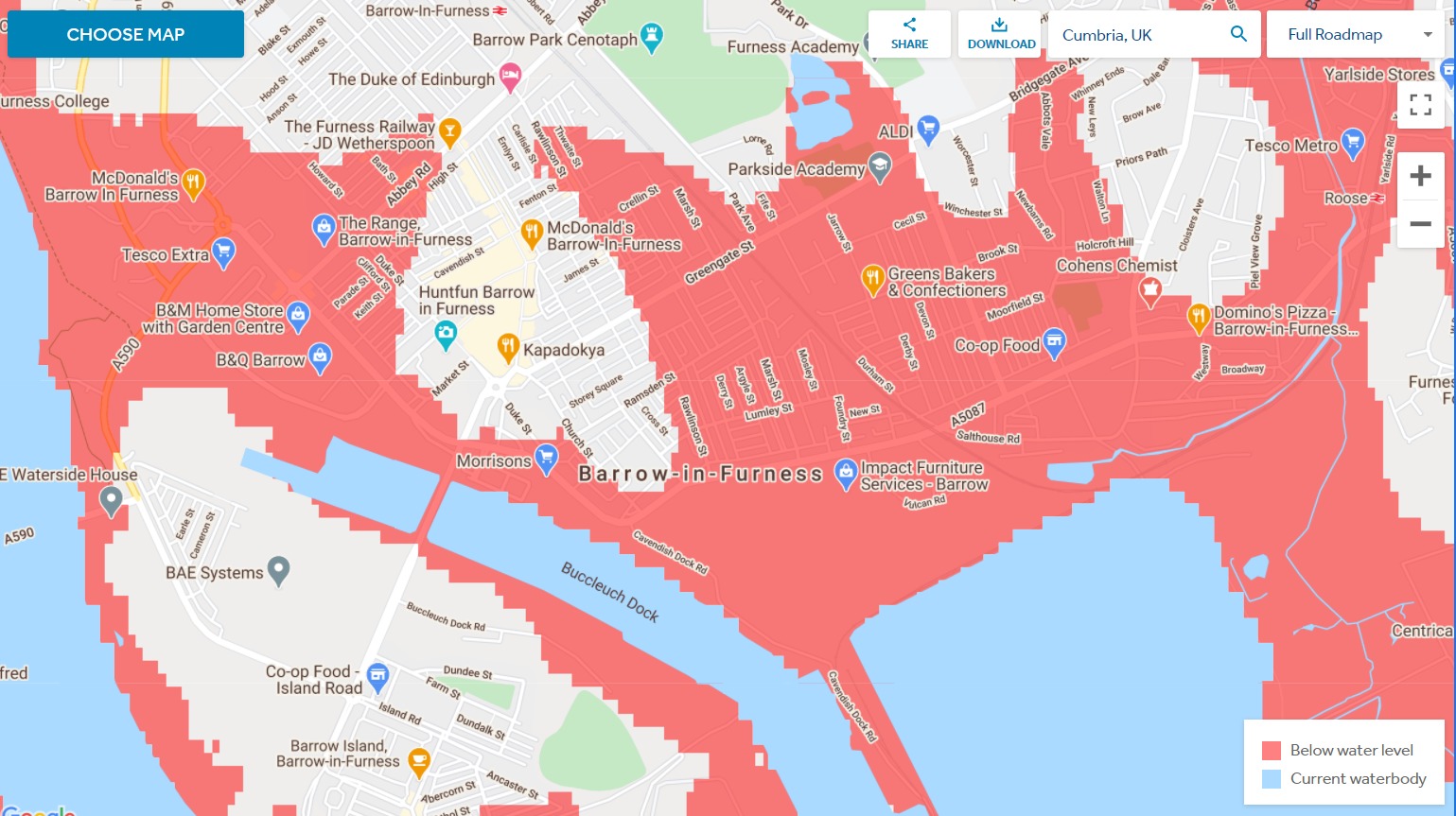
Most of Barrow looks set to be under water by 2050. Picture: Climate Central
Looking at South Cumbria, Levens, Meathop and Beckhead look too be the worst hit areas.
You can view the map by clicking here.


Comments: Our rules
We want our comments to be a lively and valuable part of our community - a place where readers can debate and engage with the most important local issues. The ability to comment on our stories is a privilege, not a right, however, and that privilege may be withdrawn if it is abused or misused.
Please report any comments that break our rules.
Read the rules hereLast Updated:
Report this comment Cancel