
IT WAS a patch of weather that caught everyone off guard - including the nation’s forecasters.
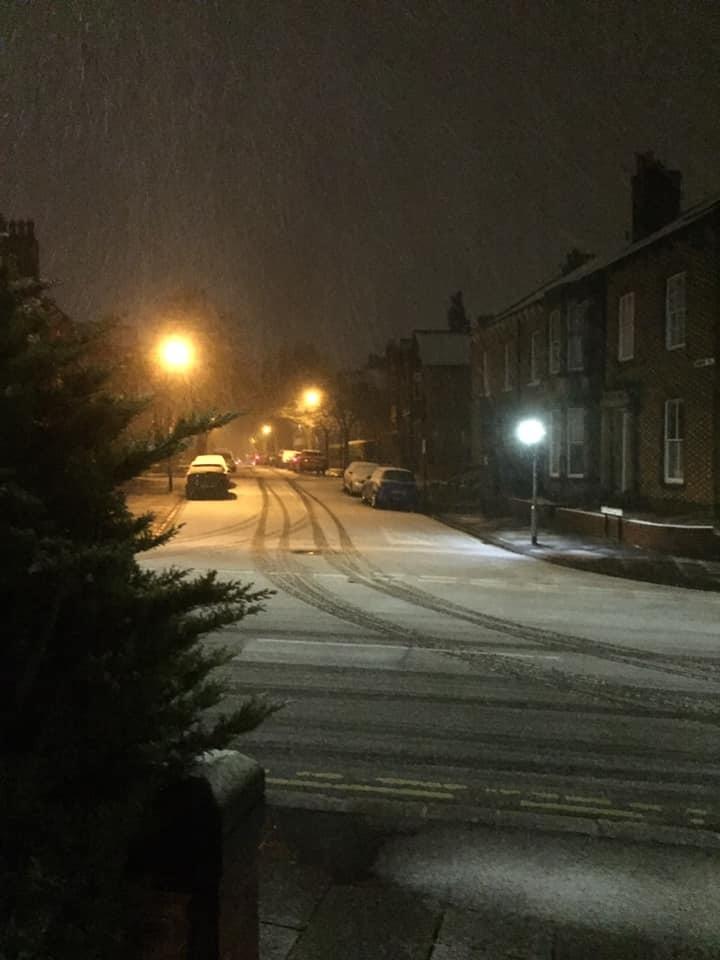
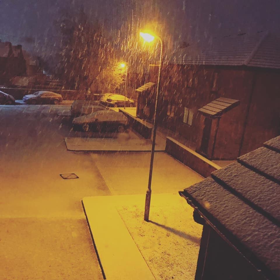
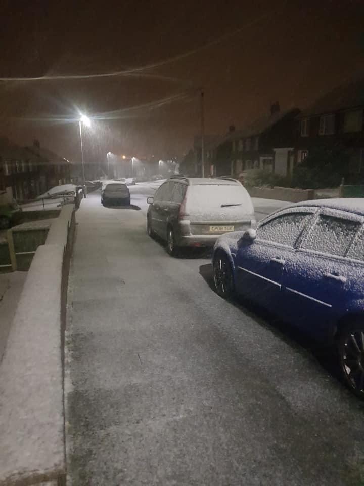
People across Cumbria were surprised on Sunday evening when snow fell unexpectedly.
The snow may have made for brilliant pictures, but it caused almost instant disruption and danger.
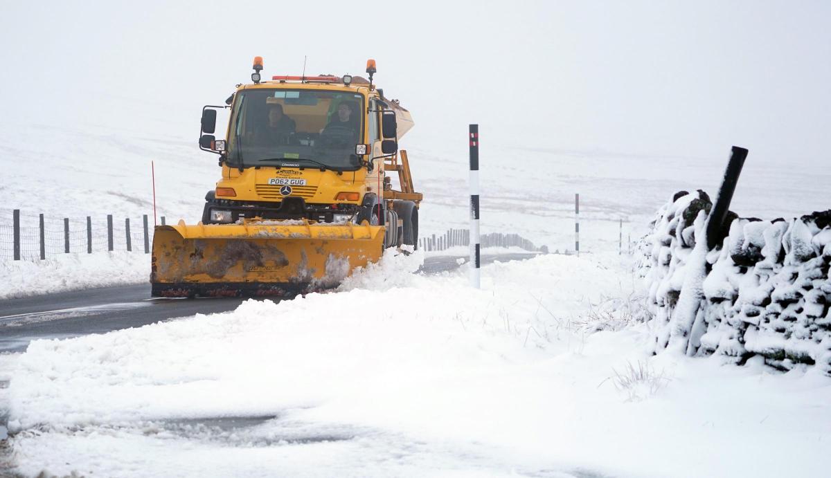
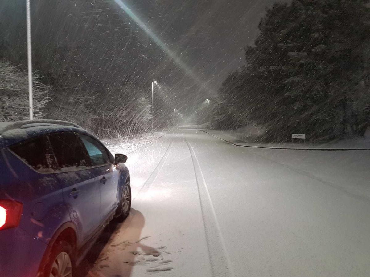
A number of roads were blocked and closed for several hours at about 9pm after heavy snow fell across the region.
Hazardous weather conditions were reported on the A69 between Carlisle and Haltwhistle, while the snow forced police to shut the A595 between Cockermouth and Thursby, leaving drivers travelling from Mealsgate to Bothel stranded.
One motorist said there was “chaos” on the A595, and taking to Twitter they said: “Shocked at how bad it is. Major problems in Cumbria due to the snow. Very severe.”
Drivers also experienced problems in Aspatria after a tanker became stuck in the snow and partially blocked the A596.
Elsewhere, the A5086 between Cockermouth and Frizington was also affected by snow with slow traffic.
On the M6, traffic was down to 30mph in both directions between junction 38 for Tebay and junction 42 for Carlisle South.
Several centimetres of snow also fell on the A689 at Alston, Hartside and Nenthead.
At Spadeadam, on the Northumbria border, 6cm of snow was recorded on Sunday night.
The conditions came as the Met Office issued a sudden last-minute weather warning for snow across the county, which was in effect between 9pm on Sunday night until 2am yesterday morning.
Police also urged drivers not to travel on the roads unless necessary.
A flood alert was also issued at 8.55pm for the rivers Calder, Ehen, Esk and Irt in the west of the county, but was later removed on Monday morning.
Grahame Madge, a spokesman from the Met Office, told the News & Star: “Snow was forecast for the county last week, but a sudden prolonged spell of snow on Sunday evening caused us to take the decision to issue an immediate yellow weather warning at about 8.40pm.”
The spokesman added that it is difficult for the forecaster to make a spot on forecast for snowfall, as a variety of factors, such as prolonged sleet for more than half an hour landing on the tops of the hills, turning into snow due to the cold temperatures.
Following Sunday’s snowfall, Grahame explained that Cumbria looks set to see further snow later this week.
“A very unsettled spell is forecast for tomorrow and Thursday, as a band of heavy rain with a potential for snow could bring some disruption across northern England, including Cumbria.
“We’ll have more details on this closer to the time, but our advice is to keep up to the date with the latest forecast via the Met Office app, and on our website, should conditions changed and a weather warning be issued.”
The latest outlook from the Met Office between tomorrow and Friday states that conditions will stay unsettled.
A spell of wet and windy weather will northwards from tomorrow, followed by heavy showers.
Further blustery showers will take place on Thursday, with coastal gales possible. The weather is set to be drier and brighter for most on Friday.
The cold snap follows on from a week of milder temperatures which rounded off February.
Last week, the hottest days to ever be recorded in February were announced by the Met Office.
Temperatures soared to 17.3 degrees in Warcop - between Brough and Appleby - at 3pm last Monday.
In Carlisle the warmest temperature came at 1pm on the same day, when 14.5 degree sun could be felt in the city.
Keswick also saw warm spells with highs of 15.5 degrees, those temperatures came in at 12pm and 1pm.
The Met Office said the warm temperatures were “exceptional” for the time of year, while Green MP Caroline Lucas linked the weather to “climate breakdown”.
The conditions were the result of warm air combining with a period of sunshine across the UK, resulting in higher temperatures, said the forecaster.


Comments: Our rules
We want our comments to be a lively and valuable part of our community - a place where readers can debate and engage with the most important local issues. The ability to comment on our stories is a privilege, not a right, however, and that privilege may be withdrawn if it is abused or misused.
Please report any comments that break our rules.
Read the rules here