
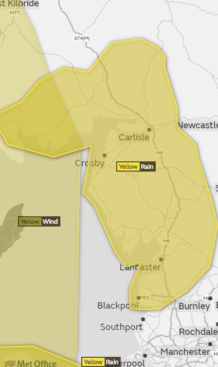
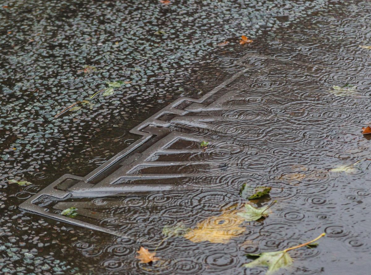
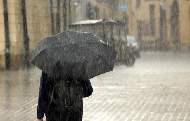
Flood alerts - the lowest level of warning - have been issued this evening, covering many main waterways in Cumbria as well as southern Scotland. Storm Callum continues to sweep across the area and the Met Office has in place yellow weather warnings - one for strong winds today and then heavy rain tomorrow.
In Cumbria, the Environment Agency has issued flood alerts - asking people to be prepared - for the coastline between Gretna and Silloth and the catchments of the Lower River Eden, Middle Eden, Rivers Caldew and Petteril, Rivers Ehen, Calder, Irt and Esk, and Upper River Eden.
North of the English-Scottish border, SEPA has issued amber flood alerts for Dumfries and Galloway and the Scottish Borders.
Flood alerts
Coast to Gretna-Silloth - in force for high tide 3am Saturday, with tides at their highest level two hours either side of this time. Port Carlisle is the location most likely to be affected. Tidal spray and onshore flooding to roads can be expected. Some properties along the coast may be affected.
Lower River Eden - Heavy rain is currently affecting the area, this will clear early evening returning later tonight and will continue throughout Saturday. The River Eden will react to this rainfall and will reach the Flood Alert level at approximately 6am. It is likely that the river will remain high throughout Saturday.
Middle Eden - Heavy rain is currently affecting the area, this will clear early evening returning later tonight and will continue throughout Saturday. The River Eden will reach the Flood Alert level from 10.30pm tonight. It is likely that the river will rise overnight and will remain high throughout Saturday.
Rivers Caldew and Petteril - similar picture with rivers due to reach Flood Alert level at around 6.30am Saturday and then remain high throughout Saturday.
Rivers Ehen, Calder, Irt and Esk - will reach Flood Alert level at around 6.45am on Saturday, with rivers remaining high throughout the day.
Upper River Eden - will reach the Flood Alert level at around 10.30pm tonight. It is likely that the river will rise overnight peaking close to the flood warning threshold at around 3am. The river will start to fall following the peak but will rise again with rainfall forecast throughout Saturday.
Dumfries & Galloway - area at greatest risk is currently looking like eastern parts (Dumfriesshire) where some localised flooding to low-lying land and roads is likely. Property flooding could also occur. Difficult driving conditions and ponding of water in known trouble spots should be expected. Risks of coastal flooding is now at its greatest at around 2.30am.
Scottish Borders - areas most at risk are southern and western areas, but all areas are at risk.
If you need further information or updates, contact Floodline on 0345 988 1188 or visit www.environment-agency.gov.uk or www.floodlinescotland.org.uk.


Comments: Our rules
We want our comments to be a lively and valuable part of our community - a place where readers can debate and engage with the most important local issues. The ability to comment on our stories is a privilege, not a right, however, and that privilege may be withdrawn if it is abused or misused.
Please report any comments that break our rules.
Read the rules here