
The county is bracing itself for storm-force winds as the Met Office warns of a "possible danger to life".
The county is set to feel the effects of ex Ophelia, with gusts that could reach up to 80mph due to hit throughout the day.
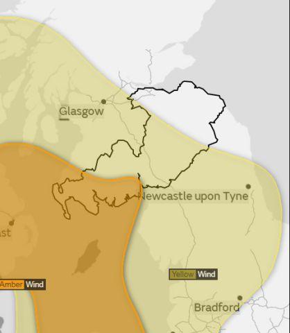
Meanwhile an amber wind warning has been issued for southwest Scotland and off the west coast of Cumbria.
The Met Office warns: "Longer journey times and cancellations are likely, as road, rail, air and ferry services may be affected as well as some bridge closures. There is a good chance that power cuts may occur, with the potential to affect other services, such as mobile phone coverage.
"Flying debris is likely, such as tiles blown from roofs, as well as large waves around coastal districts with beach material being thrown onto coastal roads, sea fronts and properties.
"This leads to the potential for injuries and danger to life."
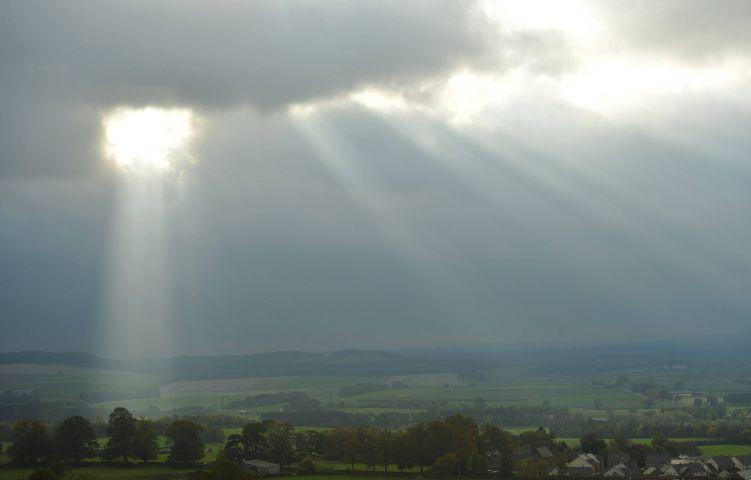
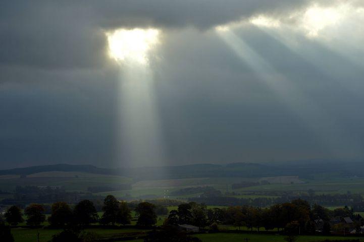
The storm, formerly the most eastern hurricane on record, has wound its way across the Atlantic and is due to hit north west England today.
Meanwhile temperatures are set to soar, with highs of up to 21C forecast in Carlisle - a staggering eight degrees warmer than the average maximum temperature for northern England at this time of year.
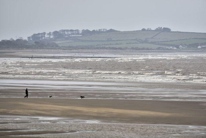
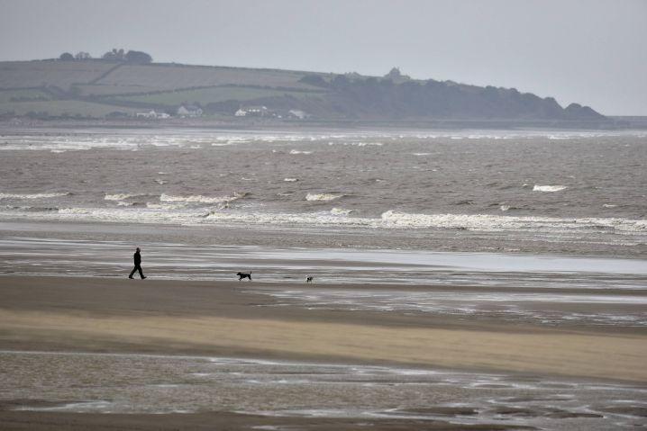
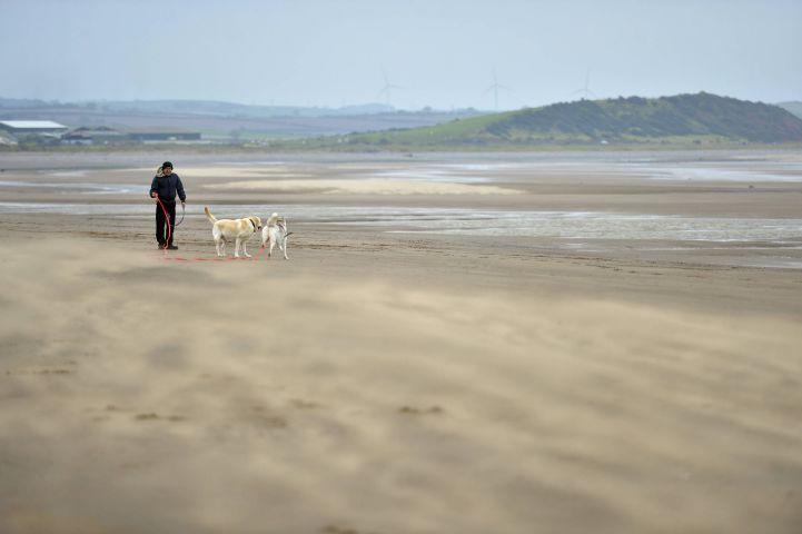
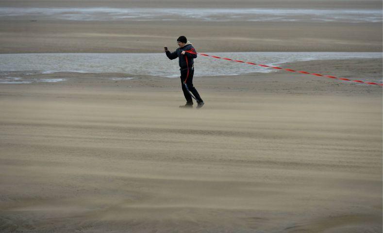
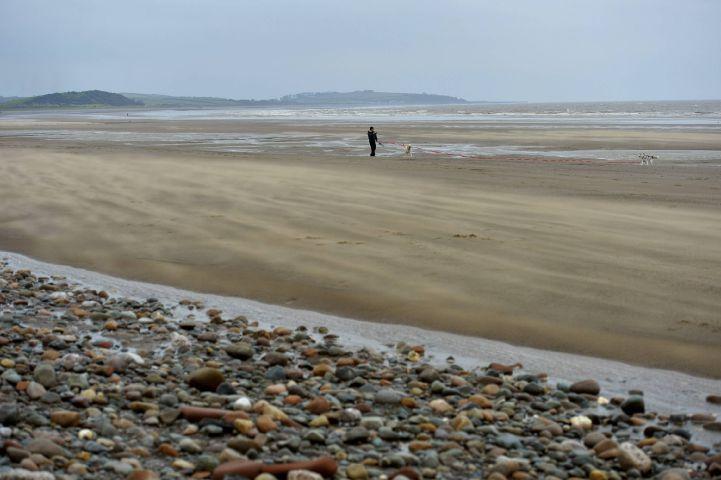
Strong winds were already making the sea choppy and whipping up sand and blowing it along the beach at Allonby yesterday.
Inland, the warmer air was beginning to be felt with temperatures reaching a mild 16C.
Ahead of its arrival the Met Office issued a 30-hour yellow weather warning of wind, which covers Cumbria, from midday today (MON) until 6pm tomorrow (TUES) .
This also warns that road, rail, air and ferry services may be affected.
Power cuts, it said, may occur, with the potential to affect other services, such as mobile phone coverage.
"Some damage to buildings, such as tiles blown from roofs could happen, perhaps leading to injuries and danger to life from flying debris," states the warning.
"Coastal routes, sea fronts and coastal communities may be affected by spray and large waves. The warning has been updated to delay the onset time of the strong winds and increase the likelihood of the event occurring."
The tropical storm - which started off as a category three hurricane - has taken an unusual north-western path.
As Ireland braces for chaos, this is a live video the Irish Examiner are using to track Ophelia's path.
Grahame Madge, a Met Office spokesman, said: "What is slightly unusual about this system is that when hurricanes come into the north Atlantic - which isn't that unusual, it's happened several times this hurricane season already - normally they wrap themselves around other weather systems, and as they disperse their influence is still there but across a wider area.
"With Ophelia, its taken a very unusual track in that it's just headed north and has remained as a discreet system. It hasn't really interacted with other weather systems. It has kept its own identity.
"Normally they head west and then by the time they get to the Caribbean or the States they turn and track back into the north Atlantic, whereas this one has just taken a very unusual track.
"Not exceptional but very unusual."
Some rain is expected but the wind is due to cause the most impact.


Comments: Our rules
We want our comments to be a lively and valuable part of our community - a place where readers can debate and engage with the most important local issues. The ability to comment on our stories is a privilege, not a right, however, and that privilege may be withdrawn if it is abused or misused.
Please report any comments that break our rules.
Read the rules here